
Le Tour de Grand Crêt d'Eau is the only trek in the Jura where it's possible to climb to the summit of five "top 30" peaks on one trek: Crêt de la Goutte (1621m, No.11), Crêt du Milieu (1597m, No.17), Crêt du Miroir (1584m, No 20), Crêt de l'Eguillon (1549m, No. 27) and Crêt des Frasses (1536m, No. 31). Lis and I did "le Tour" on a gorgeous, sunny Vaud public holiday (Monday 17 September), climbing all five peaks, as well as one other mystery 1608m peak ("Le Sorgia"?) which lies to the south of the other five.

Standing under the telecommunications tower on top of the un-named 1608m peak at the southern end of the Grand Crêt d'Eau massif. Is it "Le Sorgia"?
Making the most of the public holiday, and the gorgeous autumn weather, we decided to tackle the last big massif in the Jura that lies north of the Rhône River - the Grand Crêt d'Eau (sometimes called "le Grand Credo") - and bag its five "top 30" peaks in a single day. Apparently le Grand Crêt d'Eau was supposed to be named "Grand Crêt d'Aulp" - which means "Great Alpine Peak", but somehow the intended name got lost in dictation ("a phonetic corruption" according to one account), and "Grand Crêt d'Eau" became the accepted moniker.
It took us about an hour and a half to drive there from St George - skipping west over the Jura's highest ridgeline via the Col de la Givrine (between St Cergue and La Cure), then winding our way south through the Vallée des Dappes, under the majestic cliffs of le Rocher des Hirondelles and Roche Franche, and through the Vallée de Valserine to the tiny little French village of Menthières. We drove straight through the scattering of houses and miscellaneous shuttered buildings (it seemed deserted), and headed up a forest road to the east - into the Bois de Boge. Eventually we came to a sign (at about 1235m), telling us we couldn't go any further.

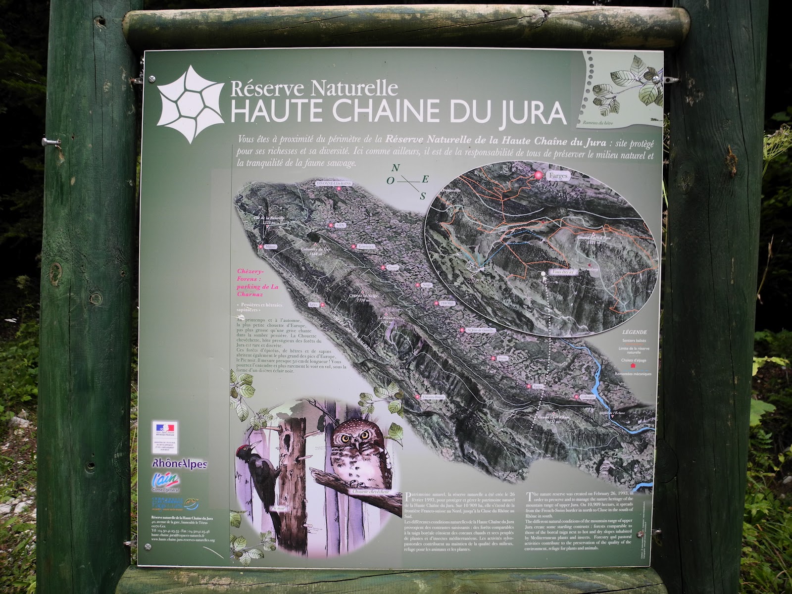
We knew we were in the right place.
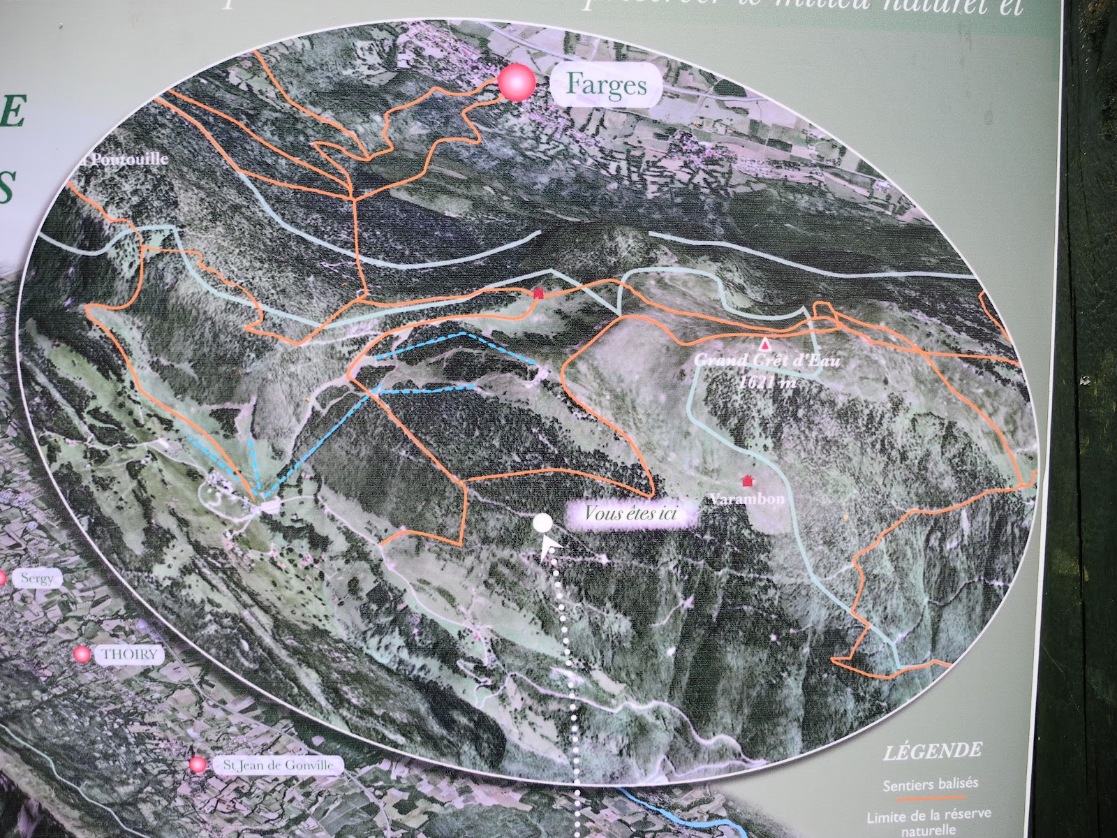
Vous êtes ici.
So we parked the car, grabbed our packs and began walking in a northerly direction along the dirt track through the forest. It was about 10.30am.
Before long we came across a ski lift - which connected Menthières down below us to the top of le Grand Crêt d'Eau - at a place called la Charnaz. We decided to turn right and follow the ski lift straight up the steep hillside (a bad move) until we found a more gentle, grass-covered piste which slowly wound its way up and across the contours to the top of the massif. To the west of us we could look down on the Vallée de Valserine, and to the south, the regional centre of Bellegarde. After circling around the first crest we came to, we soon found ourselves at the first of the summits - Crêt des Frasses (1536m, No 31). The summit gets its name from the old French word "Fraisse" or "Frasse" (old Latin "Frassia") - which is the name given to the Ash tree (Fraxinus excelsior).

The summit of Crêt des Frasses, with le Reculet, Roche Franche
and Crêt de la Grotte visible in the background on the right.

A closer look at the northern peaks above the huge scar of Roche Franche.

Looking south from Crêt des Frasses towards Crêt de la Goutte.
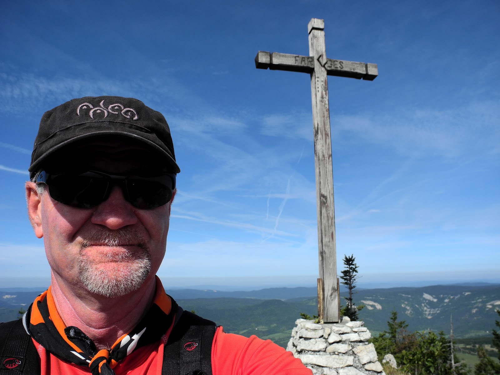
Scary commemorative pic atop Crêt des Frasses.
From Crêt des Frasses we could see three of the other four peaks, so we headed-off in a south-easterly direction, cross-country through tufted alpine grasslands to the Crêt de l'Eguillon.

Looking back towards the Crêt des Frasses on the ridgeline near Crêt de l'Eguillon.
Before long, we were standing on its summit (1549m, No 27), where we stayed just long enough to take a few photos, and take-in the amazing views - especially along the Jura to the north; and out over the plains of Gex and Geneva, Lac Léman and the Alps to the east. Even Mont Blanc was on show through the autumn haze.

On top of Crêt de l'Eguillon.

Looking north along le Balcon du Léman,
the alpine pasturage farm of Chalet du Sac in the foreground.

Looking east across the Rhône River towards the Alps. Mont Blanc in the centre.

A closer look at Mont Blanc and nearby Alps.

Looking south towards Crêt du Miroir (at far left),
Crêt du Milieu (distant centre) and Crêt de la Goutte (right).
We followed an unmarked trail alongside a fence-line - that led from the top of Crêt de l'Eguillion to the valley floor at a place called la Pierre à Fromage (1510m).

The trailhead at la Pierre à Fromage.
I resisted the urge to photograph la Pierre (it was after all, just a rock sticking up out of the ground), and we headed on south up to the top of Crêt de la Goutte. ("Goutte" means "drop" or "blob" - which is a bit ignominious for the eleventh highest peak in the Jura.)

Lis on the trail, Crêt de l'Eguillon in the background.

The goal of the day: Under the iron cross at Crêt de la Goutte.
Crêt de la Goutte (1621m, No 11), is the highest peak in the Grand Crêt d'Eau, and for most of the walkers who come up here, the only one of the five peaks they bother scrambling to the top. Not surprisingly, it was here that we encountered the only other walkers we met during the day. Unfortunately it was around noon, and all of them had planned their walks to arrive at the summit at the same time - around lunchtime, so we found a grassy ledge a little distance from the summit and settled down for our trail lunch and siesta.

Lis at what has to be one of the world's best picnic spots.

Gazing out towards Mont Blanc and the Alps.

Life doesn't get much better than this.
Once again, we were spell-bound by the amazing panorama around us - from the Jura to the Alps and back to the Jura, and wandered around the summit taking lots of photographs.

Checking-out the orientation table.

This is truly a work of art.
The orientation table was built and installed in 1993 by "l'Association "Les Amis des Sentiers" de Bellegarde-sur-Valserine avec le Concours du Conseil General de l'Ain, de la Commune de Collognes & de la Commune de Confort". The similarly artistic-looking iron cross was apparently made by an artisan called Pierre Pautry, in 1996. It was donated by the "Famille Zuccone en hommage a ses bergers" and erected by "Monsieur le Maire de Confort" on the 26th of August 1998.

A last look at the iron cross and information table at Crêt de la Goutte.

Looking south towards Crêt du Miroir (at left) and Crêt du Milieu (centre, middle distance). In the background (right, distant) lurks the mystery peak ("Le Sorgia"?)
Although trekkers, farmers, Romans, cavemen and others have been coming up here for hundreds, if not thousands of years, perhaps the most famous day in the history of Crêt de la Goutte was Wednesday the 27th of October 1937. It was on that day that 24 year old Swiss glider pilot Michel Martin, from Geneva, got caught-out by gale-force winds thrown-up by a typically unexpected Jura storm, and crashed his "Grunau baby" glider into a patch of trees not far from the summit - at about 1400 metres. Still strapped to his wrecked glider, he fell about 20 metres to the ground, with his fall cushioned by the branches that slowed his path to terra firma. Despite being severely injured - including having a broken nose and a double compound fracture to his left leg, he managed to survive for four days and cold nights without water, finding some nourishment on a diet of snails, slugs, grass and leaves. A huge land and air search was carried-out, with scores of volunteers scouring the peaks and troughs of the southern Jura, but no trace was found of the glider or its pilot for four days. One evening Michel tried his best to get down the mountainside by crawling awkwardly on his back, but passed-out from intense pain. He planned to at least crawl into an open area where he could be spotted by the search planes, or where they might find his body, but could manage only about 300 metres - still within the darkness and shelter of the forest.
At around 8am on Sunday, a dog belonging to a party of hunters (oblivious apparently to the rescue operation that was going on around them) sniffed something that encouraged his owner to move toward what he was hoping was going to be game ("la chasse"). Imagine his surprise when he heard, then saw propped-up against a tree trunk, a pale, haggard, bloodied young man who could only call out "to drink, drink". He was taken down to Collognes, then to the hospital in Geneva, where (due to infection) doctors were forced to amputate his leg just above his knee. In a happy ending to this story, Michel, fitted now with a wooden leg, returned to the air a year later and continued to happily fly gliders for many years - until his eyesight deteriorated sufficiently for him to be "grounded" by his family doctor - in 1977.

If someone crashed down into the gorges, crevasses and sinkholes hidden among those trees, it sure would be difficult to find them.
Although we could have stayed at this amazing place all day, we resisted the urge and headed-off down the mountainside towards the three peaks to the south. The trail (now marked with the characteristic mountain trail red and white striped posts) took us into a broad expanse of relatively flat alpine grassland, which contained a couple of very neat looking, circular ponds.

Back on the trail below Crêt de la Goutte.

Highland pond.

Sign on the trail.
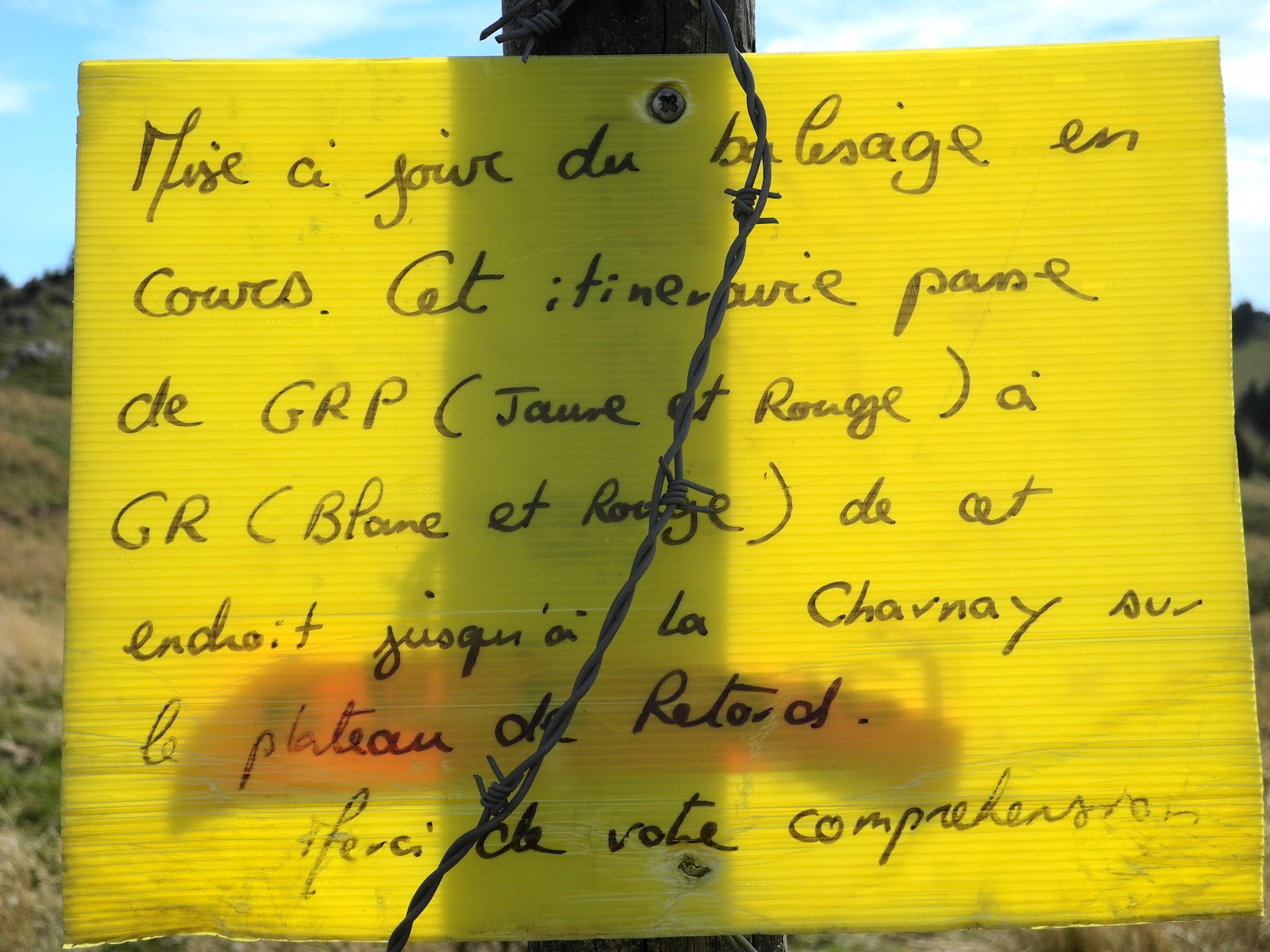
Merci de votre comprehension!
Surprisingly (to us peak-grabbers at least), the trail took us right between (and past) Crêt du Miroir and Crêt du Milieu and began heading back down the mountain towards Collognes (the closest French town down on the eastern side of the mountain - on the plain, southwest of Geneva). We followed it for awhile, then headed cross-country to the summit of the un-named peak (1608m), which I saw referred to as "le Sorgia" in one Jura guidebook that I have on my bookshelves at home in St George.

Checking-out one of the radio-comms structures at the top of "le Sorgia".
Down the cliffs just below is Fort de l'Ecluse - one of our favourite via ferrata climbing sites.

Lis checking-out Mont Blanc from "le Sorgia".
We didn't stay long, and were soon retracing our steps back towards the north of the Grand Crêt d'Eau, and the summits of the last two unclimbed peaks. First stop was atop Crêt du Miroir (1584m, No 20), where we paused just long enough for a commemorative pic. "Miroir" originates from the base Latin word miratorium "mirror", Latin mirari "admire", and old French mirour "mirror". It is thought to mean "a place with a good view". Well we can certainly attest to that!

Flying the flag atop Crêt du Miroir. (Not the French flag I know, but it was the closest I could find for le tricoloré. Just imagine it's turned on its side)

Lis gazing down on the Rhône.

One last look at Mont Blanc.
From here we headed west, downhill, then up - to the top of Crêt du Milieu (1597m, No 17) - the fifth and final of our target peaks for the day. Quite aptly, Milieu literally means "the one who is in the middle". A commemorative photograph, then a last quick scan of the 360 degree panorama, and we were on our way back down the mountain.

At the trig station atop Crêt du Milieu.

Looking north towards the summit of Crêt de la Goutte.

The summit of Crêt du Miroir, from Crêt du Milieu,
with Mont Blanc in the background.
The trail took us back over the top of Crêt de la Goutte, so we stopped at the summit for one last photograph ...

... then headed north northwest towards Crêt des Frasses. Somewhere down to the left of us was the marked trail - passing by le Chalet de Varambon, but we headed cross-country - through the rough-and-tumble tussocky grasslands. After scrambling up and over one last rocky outcrop, we found ourselves back on the grassy piste below Crêt des Frasses, from where it was all downhill as we retraced our steps from earlier in the morning.
We arrived back at the car at about 3.30pm - after five fabulous hours atop the Haute Chaîne du Jura. Life doesn't get much better than that.
Jura peaks bagged:
- Crêt de la Goutte (No. 11) 1621m
- Crêt du Milieu (No. 17) 1597m
- Crêt du Miroir (No. 20) 1584m
- Crêt de l'Eguillon (No. 27) 1549m
- Crêt des Frasses (No. 31) 1536m


